
Derwent Edge - Peak District Walk
Sunday 19th April 2009
This was a walk I had planned on doing with some fellow OFC members a few weeks earlier but at the last moment was unable to. Today the weather was fantastic and had certainly drawn the crowds out, so much so that we were lucky to get a legal parking space outside the Yorkshire Bridge Inn, convenient for an end of walk pint but not for the extra 2.5 miles it added onto the walk. It was just as well we were parked legally as there were plenty of parking tickets on the cars that hadn't done so when we finished the walk.
Start: Lay-by outside Yorkshire Bridge Inn (SK 2016 8509)
Route: Yorkshire Bridge Inn lay-by - Ladybower Reservoir - Pike Low - Lost Lad - Back Tor (TP) - Derwent Edge - Ashopton - Yorkshire Bridge Inn lay-by
Distance: 10.75 miles Ascent: 466 metres Time Taken: 5 hours 10 mins
Terrain: Easy to follow paths.
Weather: Warm but hazy.
Pub Visited: Yorkshire Bridge Inn Ale Drunk: Copper Dragon Brewery, Golden Pippin
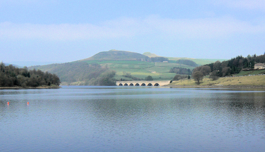
Looking across Ladybower towards Crook Hill.
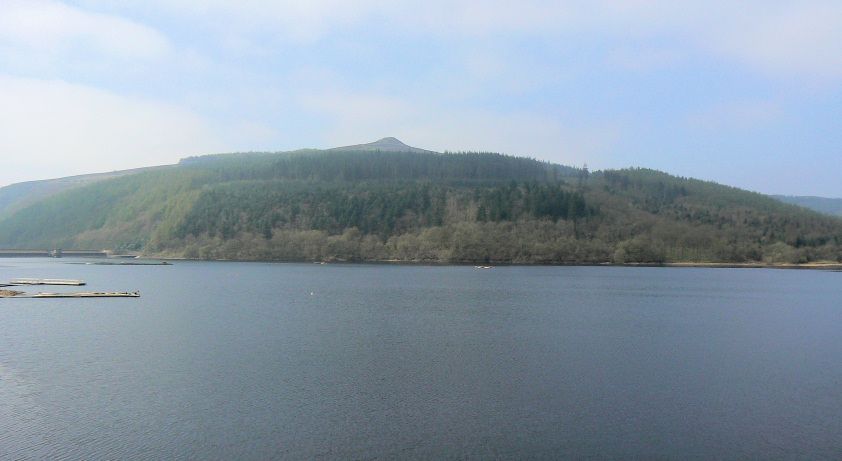
Win Hill from the point at which I had hoped to start the walk.
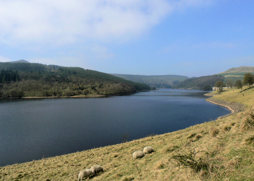
Ladybower Reservoir.
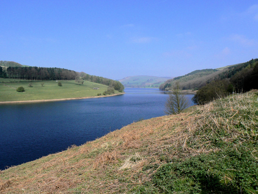
We would be walking alongside Ladybower until we reached Pike Low which appears, in this shot, to be at the head of the reservoir
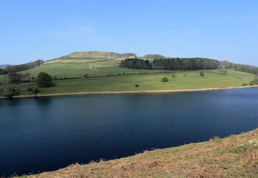
Crook Hill.
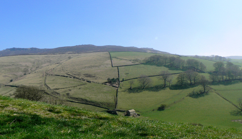
The first clear view of Derwent Edge as we head uphill towards Pike Low.
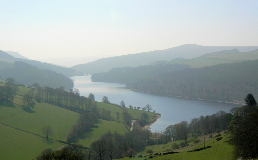
Looking back along Ladybower as the haze starts to increase.
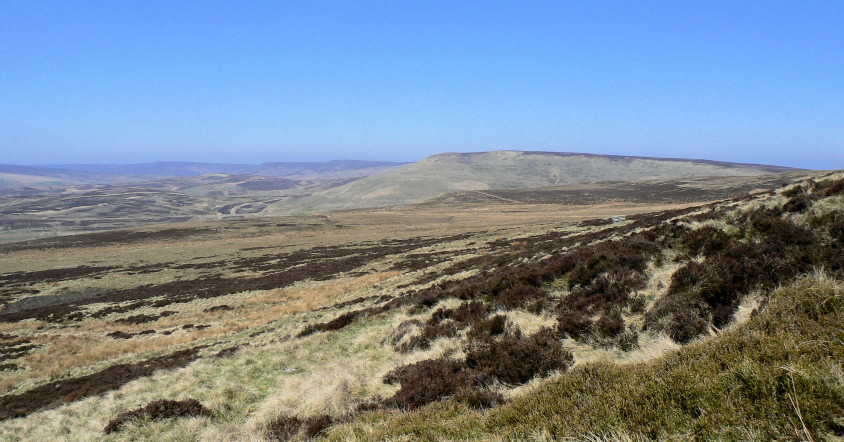
Howden Edge seen from the foot of Lost lad.
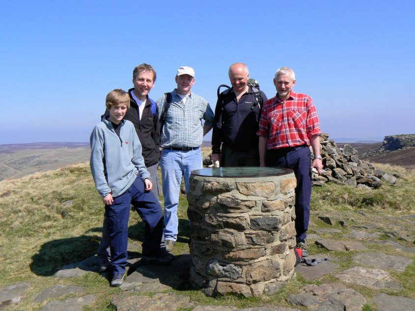
We met up with Dennis (in the red top) on Lost Lad who was out celebrating his 50th birthday.
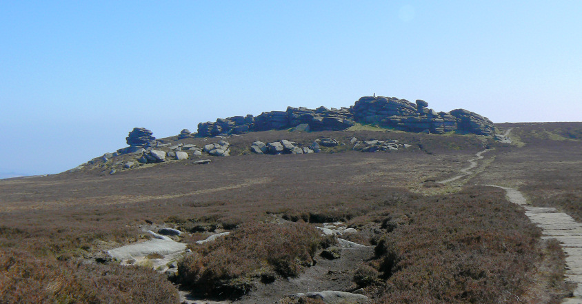
Approaching Back Tor and time to find a place to eat.
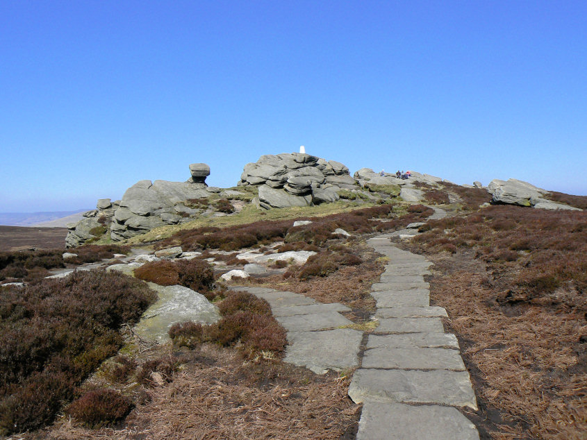
Dennis' party also stopped here for something to eat, after first scrambling up to the trig point.
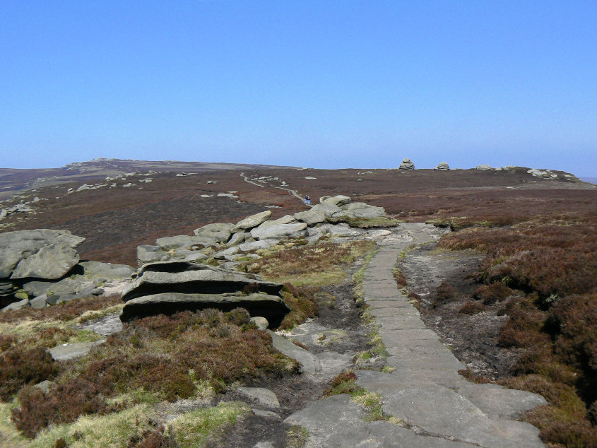
Looking back to Back Tor and Cakes of Bread.
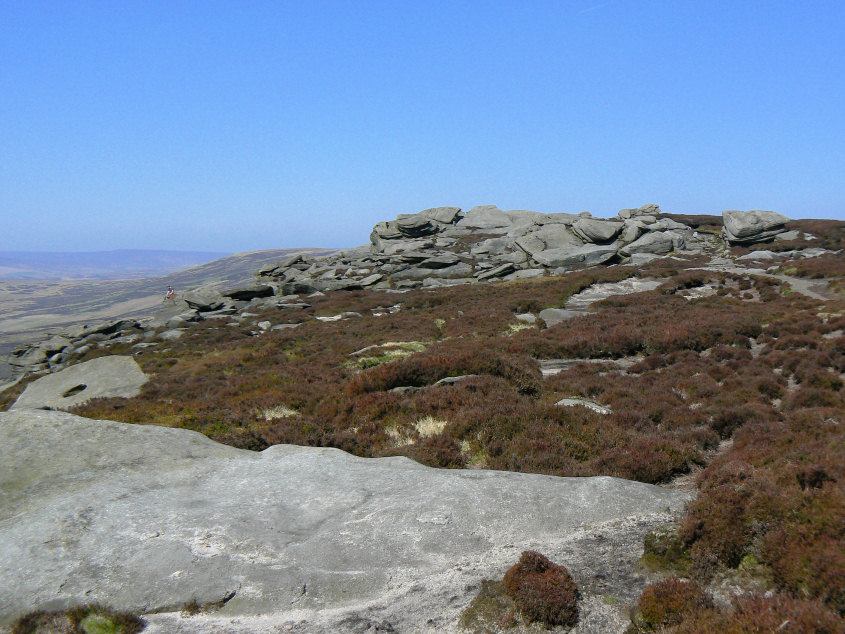
Dovestone Tor has some climbers on it today.
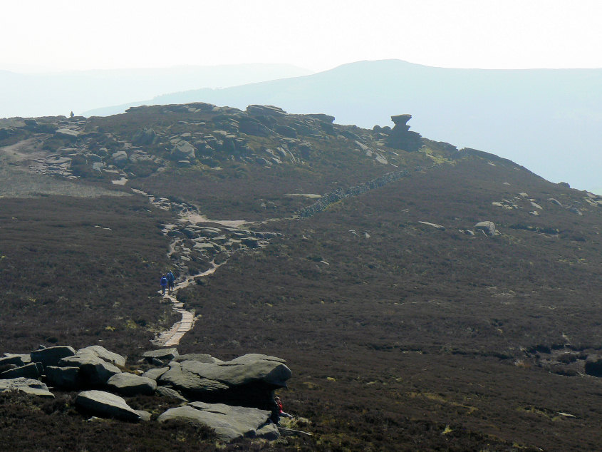
The distinctive Salt Cellar.
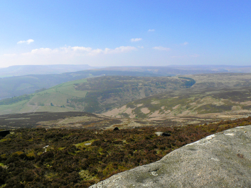
Looking across to Pike Low (C) from Derwent Edge. Kinder Scout and Higher Shelf Stones are just about visible through the haze.
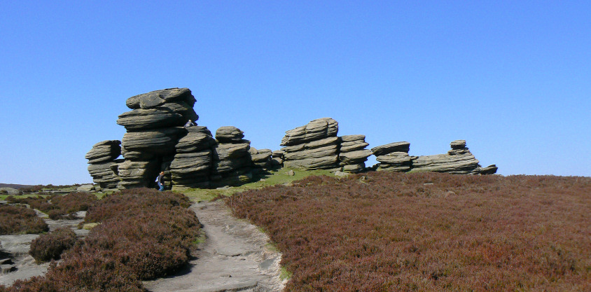
Wheel Stones.
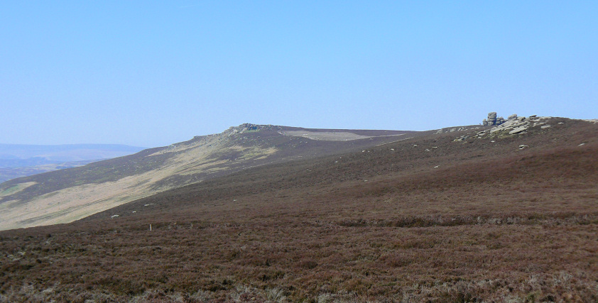
Derwent Edge from Whinstone Lee Tor.
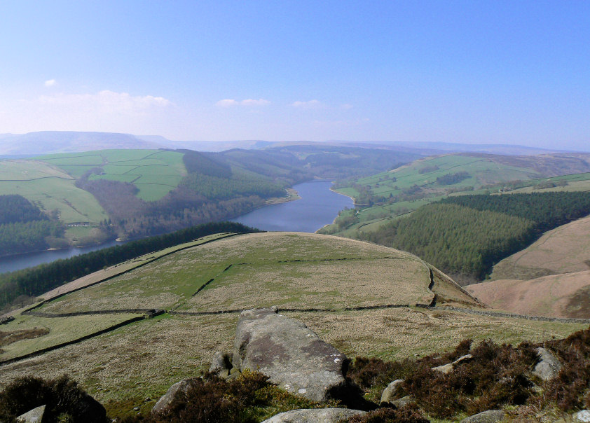
Ladybower and the Upper Derwent Valley from Whinstone Lee Tor.
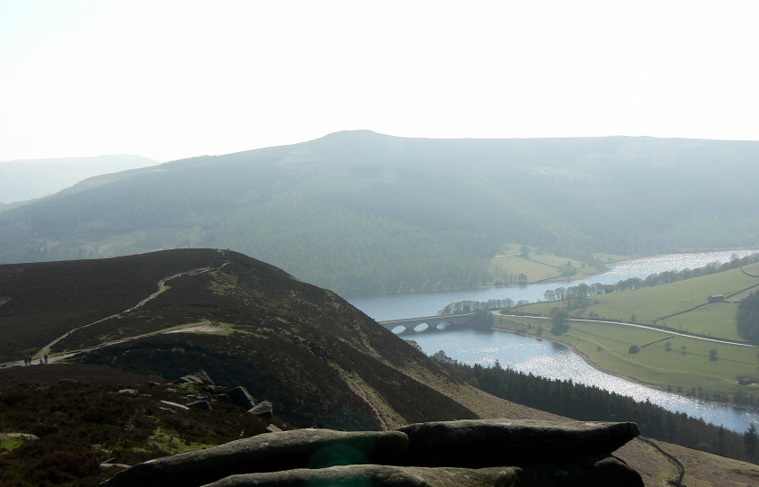
The sun is making Ladybower sparkle.
All pictures copyright © Peak Walker 2006-2023